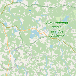
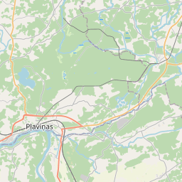
Land unit (cadastre designation: 32920110262)
Cadastre designation: 32920110262
Administrative area: Aizkraukles novads
Cadastre designation of real estate | |
|---|---|
Cadastral object type | Cadastral object type: Land unit |
Administrative area | |
Cadastre number of the real estate in which this land unit is included | Cadastre number of the real estate in which this land unit is included: 32920090077 |
|
|
|
{"7201060310":{"name":"<div class='color_dot' style='background-color: #00ffff'><\/div><span>Projected land unit<\/span>","featureColor":"#00ffff","features":{"type":"FeatureCollection","features":[{"type":"Feature","geometry":{"type":"Polygon","coordinates":[[[25.725083408,56.700404271],[25.725500288,56.700296188],[25.727483688,56.702216899],[25.727177841,56.702351556],[25.725083408,56.700404271]]]},"crs":{"type":"name","properties":{"name":"urn:ogc:def:crs:EPSG:3059"}},"properties":{"style":{"color":"#00ffff","dashArray":"2,4","weight":1},"name":"Land","object_type":"Parcel","parcel_code":"32920120107","code":null,"surveyor":null,"address":"","ownership":"<span>Legal owner - Municipality<br><\/span>","pro_cadastre_nr":"32920090077"}},{"type":"Feature","geometry":{"type":"Polygon","coordinates":[[[25.74793203,56.709214522],[25.748005023,56.709134164],[25.749718259,56.70960486],[25.74961012,56.709675568],[25.74793203,56.709214522]]]},"crs":{"type":"name","properties":{"name":"urn:ogc:def:crs:EPSG:3059"}},"properties":{"style":{"color":"#00ffff","dashArray":"2,4","weight":1},"name":"Land","object_type":"Parcel","parcel_code":"32920120106","code":null,"surveyor":null,"address":"","ownership":"<span>Legal owner - Municipality<br><\/span>","pro_cadastre_nr":"32920090077"}},{"type":"Feature","geometry":{"type":"Polygon","coordinates":[[[25.686716742,56.713911165],[25.686746021,56.713891801],[25.686779566,56.713907161],[25.686764919,56.713916839],[25.686750255,56.713926526],[25.686716742,56.713911165]]]},"crs":{"type":"name","properties":{"name":"urn:ogc:def:crs:EPSG:3059"}},"properties":{"style":{"color":"#00ffff","dashArray":"2,4","weight":1},"name":"Land","object_type":"Parcel","parcel_code":"32920110262","code":null,"surveyor":null,"address":"","ownership":"<span>Legal owner - Municipality<br><\/span>","pro_cadastre_nr":"32920090077"}},{"type":"Feature","geometry":{"type":"Polygon","coordinates":[[[25.680102644,56.702131589],[25.680118175,56.702008037],[25.68030007,56.700560462],[25.681015752,56.700560196],[25.680554276,56.702612985],[25.680528951,56.702725672],[25.680102644,56.702131589]]]},"crs":{"type":"name","properties":{"name":"urn:ogc:def:crs:EPSG:3059"}},"properties":{"style":{"color":"#00ffff","dashArray":"2,4","weight":1},"name":"Land","object_type":"Parcel","parcel_code":"32920110241","code":null,"surveyor":null,"address":"","ownership":"<span>Legal owner - Municipality<br><\/span>","pro_cadastre_nr":"32920090077"}},{"type":"Feature","geometry":{"type":"Polygon","coordinates":[[[25.690532128,56.74182931],[25.690864056,56.741796486],[25.691581232,56.744616893],[25.691250658,56.744557753],[25.691234274,56.744495544],[25.690532128,56.74182931]]]},"crs":{"type":"name","properties":{"name":"urn:ogc:def:crs:EPSG:3059"}},"properties":{"style":{"color":"#00ffff","dashArray":"2,4","weight":1},"name":"Land","object_type":"Parcel","parcel_code":"32920090077","code":null,"surveyor":null,"address":"","ownership":"<span>Legal owner - Municipality<br><\/span>","pro_cadastre_nr":"32920090077"}}]}}}
[]
https://tile.openstreetmap.org/{z}/{x}/{y}.png|© OpenStreetMap contributors|minZoom: 7|maxZoom: 19
|
Land unit data updated: 23.01.2025.
Data source and license: Cadastre Information System open text and spatial data, Real Estate Market Database open data, open data license Creative Commons Attribution, OpenStreetMap

