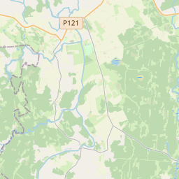
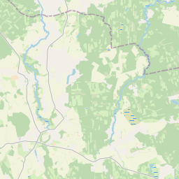
Building (cadastre designation: 84520010034004)
Cadastre designation: 84520010034004
Address: "Kapenieki", Lielsatiķi, Gaiķu pagasts, Saldus novads, LV-3873
Cadastre designation of real estate | Cadastre designation of real estate: 84520010034004 |
|---|---|
Cadastral object type | Cadastral object type: Building |
Address | Address: "Kapenieki", Lielsatiķi, Gaiķu pagasts, Saldus novads, LV-3873 |
Address | |
|---|---|
Address ID | Address ID: 103640215 |
Companies registered at the address | |
Departments registered at the address | Departments registered at the address: 0 |
Institutions registered at the address | Institutions registered at the address: 0 |
Real estate registered at the address | |
Transactions with real estate at the address | Transactions with real estate at the address: 0 |
| Cadastral object type | Cadastre designation of the cadastral object | Person's property right status | Person status |
|---|---|---|---|
No data | |||
09.01.2025. State land service data
|
|
|
{"7201060210":{"name":"<div class='color_dot' style='background-color: #00ffff'><\/div><span>Specified land unit<\/span>","featureColor":"#00ffff","features":{"type":"FeatureCollection","features":[{"type":"Feature","geometry":{"type":"Polygon","coordinates":[[[22.546876223,56.822179669],[22.547146156,56.822186477],[22.547874216,56.822294017],[22.548450706,56.822413995],[22.548872935,56.822467289],[22.5500412,56.822585153],[22.550704721,56.822640767],[22.553432496,56.822746752],[22.5608174,56.823073743],[22.560820008,56.823002748],[22.563534928,56.822992521],[22.5654783,56.822983649],[22.567097411,56.822997944],[22.567248343,56.822984573],[22.56738454,56.823286383],[22.56773398,56.82366695],[22.567852562,56.823742633],[22.566913492,56.824491301],[22.565344178,56.825439317],[22.562303199,56.826340354],[22.561486555,56.824577916],[22.560165006,56.824575967],[22.555601758,56.824398983],[22.552114621,56.824339848],[22.551716657,56.824211258],[22.551472279,56.823966072],[22.549945078,56.823656034],[22.54941557,56.824637519],[22.549029251,56.824416008],[22.548689558,56.824239342],[22.548273444,56.823955477],[22.54778088,56.823564438],[22.547393735,56.823156916],[22.547170817,56.822765499],[22.546945338,56.822372606],[22.546876223,56.822179669]]]},"crs":{"type":"name","properties":{"name":"urn:ogc:def:crs:EPSG:3059"}},"properties":{"style":{"color":"#00ffff","dashArray":"8,12","weight":1},"name":"Land","object_type":"Parcel","parcel_code":"84520010034","code":null,"surveyor":null,"address":"\"Kapenieki\", Lielsati\u0137i, Gai\u0137u pag., Saldus nov., LV-3873","ownership":"<span>Owner - Natural person<br><\/span>","pro_cadastre_nr":"84520010034"}}]}},"5201011310":{"name":"<div class='color_dot' style='background-color: #960096'><\/div><span>Vectorized building<\/span>","featureColor":"#960096","features":{"type":"FeatureCollection","features":[{"type":"Feature","geometry":{"type":"Polygon","coordinates":[[[22.549012782,56.822630571],[22.549172345,56.822664079],[22.549075017,56.822803418],[22.548915454,56.822769909],[22.549012782,56.822630571]]]},"crs":{"type":"name","properties":{"name":"urn:ogc:def:crs:EPSG:3059"}},"properties":{"style":{"color":"#960096","dashArray":"0","weight":2},"name":"Building","object_type":"Building","parcel_code":"84520010034","code":"84520010034004","surveyor":null,"address":"\"Kapenieki\", Lielsati\u0137i, Gai\u0137u pag., Saldus nov., LV-3873","ownership":"<span>Owner - Natural person<br><\/span>","pro_cadastre_nr":"84520010034"}}]}}}
[]
https://tile.openstreetmap.org/{z}/{x}/{y}.png|© OpenStreetMap contributors|minZoom: 7|maxZoom: 19
|
Building data updated: 13.01.2025.
Data source and license: Cadastre Information System open text and spatial data, Real Estate Market Database open data, open data license Creative Commons Attribution, OpenStreetMap

