Deal ID: 1223523
Transaction object type | Transaction object type: The land |
|---|---|
Object | Object: Land |
Property cadastral number | |
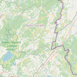
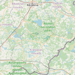
Administrative area | Administrative area: Zvirgzdenes pag., Ludzas nov. |
Transaction date | Transaction date: |
Administrative area | |
|---|---|
Address ID | Address ID: 100014981 |
Companies registered at the address | |
Departments registered at the address | |
Institutions registered at the address | |
Real estate registered at the address | |
Transactions with real estate at the address |
|
{"7201060110":{"name":"<div class='color_dot' style='background-color: #00ffff'><\/div><span>Measured land unit<\/span>","featureColor":"#00ffff","features":{"type":"FeatureCollection","features":[{"type":"Feature","geometry":{"type":"Polygon","coordinates":[[[27.852525414,56.578885081],[27.853469244,56.578359039],[27.856898505,56.580831463],[27.855563311,56.581203966],[27.852525414,56.578885081]]]},"crs":{"type":"name","properties":{"name":"urn:ogc:def:crs:EPSG:3059"}},"properties":{"style":{"color":"#00ffff","dashArray":"0","weight":1},"name":"Land","object_type":"Parcel","parcel_code":"68980070131","code":null,"surveyor":null,"address":"","ownership":"<span>Owner - Legal entity<br><\/span>","pro_cadastre_nr":"68980030170"}},{"type":"Feature","geometry":{"type":"Polygon","coordinates":[[[27.780899184,56.549578569],[27.781387733,56.548314273],[27.784646764,56.548541049],[27.785595006,56.548972087],[27.78538139,56.549010522],[27.784303505,56.549709582],[27.780899184,56.549578569]]]},"crs":{"type":"name","properties":{"name":"urn:ogc:def:crs:EPSG:3059"}},"properties":{"style":{"color":"#00ffff","dashArray":"0","weight":1},"name":"Land","object_type":"Parcel","parcel_code":"68980060349","code":null,"surveyor":null,"address":"","ownership":"<span>Owner - Legal entity<br><\/span>","pro_cadastre_nr":"68980030170"}},{"type":"Feature","geometry":{"type":"Polygon","coordinates":[[[27.697023995,56.584109452],[27.697226356,56.58300781],[27.698516717,56.582906365],[27.698520773,56.582099952],[27.698546792,56.582062277],[27.698698268,56.582094128],[27.699087669,56.582122319],[27.699500498,56.582125166],[27.70048735,56.582101956],[27.701336333,56.582088601],[27.701689412,56.58210589],[27.701872784,56.582146803],[27.701970047,56.582217347],[27.702016511,56.582264759],[27.70194722,56.582285437],[27.699887324,56.584240146],[27.698004695,56.584258461],[27.697023995,56.584109452]]]},"crs":{"type":"name","properties":{"name":"urn:ogc:def:crs:EPSG:3059"}},"properties":{"style":{"color":"#00ffff","dashArray":"0","weight":1},"name":"Land","object_type":"Parcel","parcel_code":"68980050151","code":null,"surveyor":null,"address":"","ownership":"<span>Owner - Legal entity<br><\/span>","pro_cadastre_nr":"68980030170"}},{"type":"Feature","geometry":{"type":"Polygon","coordinates":[[[27.733691309,56.594018816],[27.734475381,56.593385447],[27.736751289,56.596929643],[27.73586709,56.59713104],[27.733691309,56.594018816]]]},"crs":{"type":"name","properties":{"name":"urn:ogc:def:crs:EPSG:3059"}},"properties":{"style":{"color":"#00ffff","dashArray":"0","weight":1},"name":"Land","object_type":"Parcel","parcel_code":"68980030072","code":null,"surveyor":null,"address":"","ownership":"<span>Owner - Legal entity<br><\/span>","pro_cadastre_nr":"68980030170"}}]}}}
[]
https://tile.openstreetmap.org/{z}/{x}/{y}.png|© OpenStreetMap contributors|minZoom: 7|maxZoom: 19
|
Data source and license: Open data of the real estate market database, Open data of the cadastral information system, open data license: Creative Commons Attribution, OpenStreetMap